3D City Modelling: The Next Generation
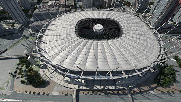
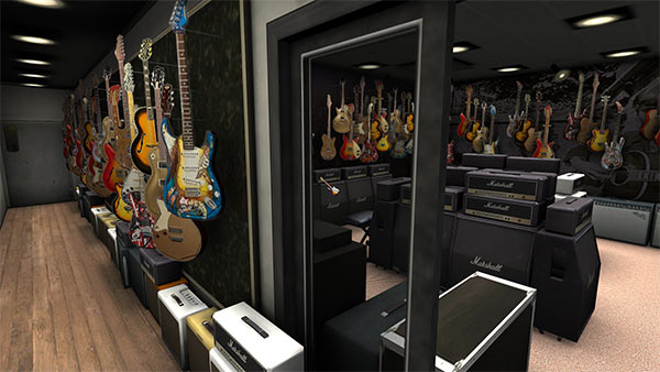
GeoSim’s 3D city models provide smooth, interactive navigation while moving from place to place and from large-scale to small-scale. The visualization platform is designed and built to let the user walk or fly from any point to any other point; to choose an aerial view and then fly directly down to the street level and walk into retail spaces to browse or shop. An instant jump to any address is just as easy.
3D Municipal: Management of Sustainable Cities
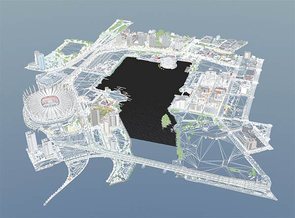
City governance requires information which is both current and reliable. GeoSim’s 3D city models are designed to receive and visualize city data, including sensor data — from traffic to energy consumption — all in real time. When incoming data are visualized and dynamically displayed alongside city geospatial information, the superior representation of information increases comprehension, enabling fresh insights and better responses.
“Looking around the world is easier than analyzing evidence displays.” – Edward Tufte
3D Web: Places instead of Pages
The Web has begun its inevitable transition from 2D to 3D. Almost all websites are still 2D, which means that this conversion will have a very large market impact.
Gaming-as-a-service (GAAS) companies are accelerating the rate of change, rendering 3D models in the cloud, enabling high quality 3D motion graphics anywhere, on any device.
GeoSim’s 3D city models are precisely the kind of deep content that will fuel this revolution, particularly for social and retail applications — places, instead of pages.
GeoSim’s ability to replicate 3D interiors of retail spaces and inventories, seamlessly connecting them to e-commerce, creates a much richer shopping experience.


